Chapin Commercial Historic District
National Register Listing
Street Address:
Bounded by Lexington Avenue to the west, Beaufort Street and Chapin Road to the south, Clark Street to the east, and the rear of lots along Columbia Avenue to the north, Chapin, SC (Lexington County)
NRHP Nomination
NRHP Maps
Record Number:
S10817732061
Description and Narrative:
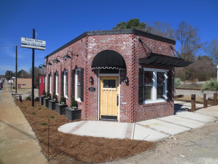
The Chapin Commercial Historic District is significant for its role in the commercial development of Chapin, South Carolina, between 1901 and 1969. The district occupies the area where the town’s historic commercial center first developed in the 1890s and is comprised of twelve contributing buildings and one contributing structure. Most of the contributing buildings originate from two periods associated with local economic growth. From 1901 to 1922, Chapin first boomed as a bustling railroad town, giving rise to a combination of brick and frame buildings that largely served businesses that were heavily dependent on the railroad’s passenger and freight traffic. The Great Depression and the completion of nearby Lake Murray in 1930 severely disrupted the downtown Chapin economy before a period of revitalization finally began in 1940, when tourism traffic to the lake renewed the district and created demand for new town services and more centralized local government. As a result, the period from 1940 through 1969 saw Chapin’s downtown revitalized through new, affordable, and mostly functional commercial architecture. Listed in the National Register October 7, 2019.
Period of Significance:
1901 – 1969
Level of Significance:
Local
Area of Significance:
Commerce
National Register Determination:
listed
Date of Certification:
October 7 2019