"Congarees" Site
National Register Listing
Street Address:
Address Restricted, Cayce, SC City Vicinity (Lexington County)
NRHP Nomination
Record Number:
S10817732005
Description and Narrative:
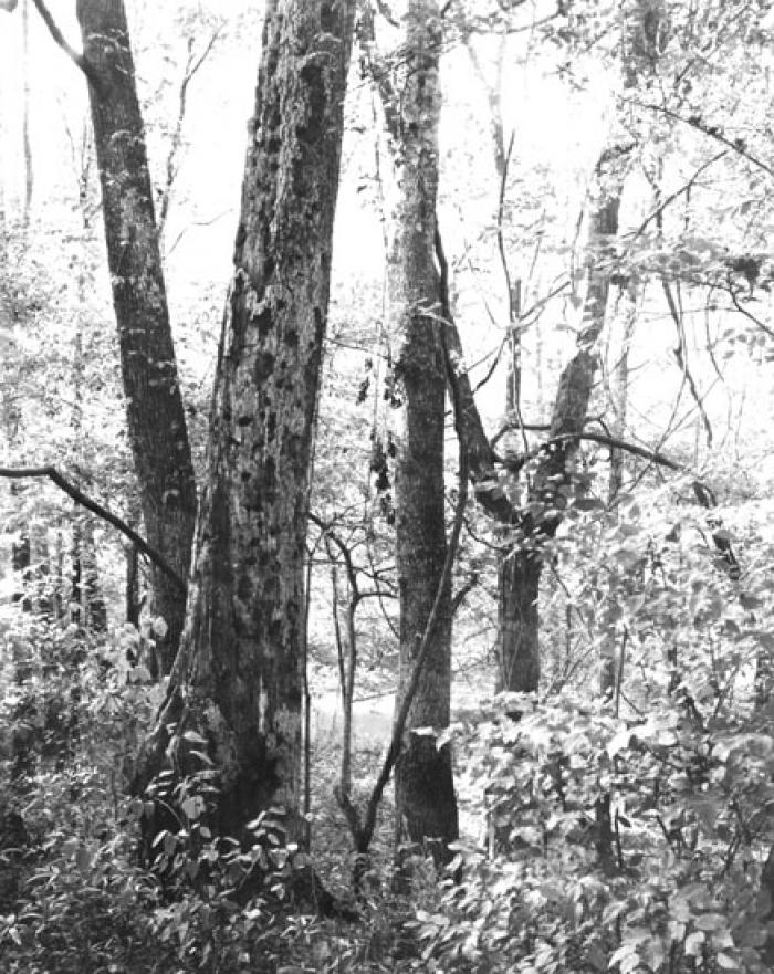
The Congarees is an exceptionally important and interesting historic site, which, because of its central geographic location and the fact that it was the crossroads of the South Carolina colony for a long period of time, occupied no small place in the early development of South Carolina. Significant both economically and strategically, “the Congarees” figured in legislative actions as early as 1691, serving as a trading area and settlement, frontier outpost, military staging point, early township, crossroads of the great trade paths of the Catawba and Cherokee nations, and a center of back country development. The site consists of field and forest areas, through the center of which flows the Congaree Creek. In some areas the creek is bounded by high wooded bluffs, in others by overgrown swamp lands. A number of abandoned early twentieth century dwellings are scattered over the site. A significant back country fort of 1718, Fort Congaree, was located at the bend of Congaree Creek. Its exact location within the site has not yet been determined archeologically. Listed in the National Register December 31, 1974.
Period of Significance:
1718;1691;1733
Level of Significance:
National
Area of Significance:
Military;Archeology: Historic - Aboriginal;Commerce;Politics/Government
National Register Determination:
listed
Date of Certification:
December 31 1974