City of Camden Historic District
National Register Listing
Street Address:
Bounded on S by city limits, on E and W by Southern RR. right-of-way, and on N by Dicey Creek Rd., Camden, SC (Kershaw County)
NRHP Nomination
NRHP Maps
Record Number:
S10817728005
Description and Narrative:
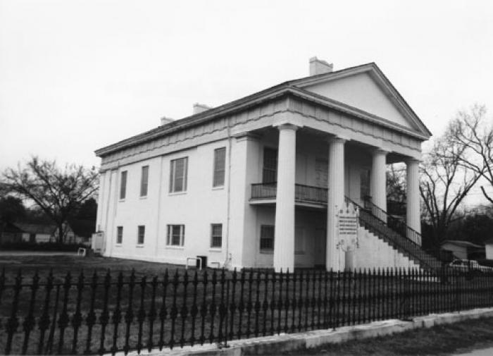
Architecturally and militarily significant, Camden was a center of activity in both the Revolutionary and Civil Wars, and its architecture reflects the two centuries of its growth. The city was named in honor of Lord Camden, British champion of colonial rights. In 1774 wide streets were laid off in a grid pattern. The town expanded northward as shown in a 1798 plat. The plat set aside six parks which formed the basis for the city’s present 178 acres of beautiful parkland. Most of the original town was destroyed by the fire of 1813. This accelerated growth northward to the Kirkwood area, north of Chesnut Street. Originally, the houses in this area were summer cottages, but by 1840 Kirkwood was a year-round residential area of handsome mansions and elaborate gardens. Many of the mansions were built around the cottages, which still survive at their core. Contributing properties are mostly residential but also include public buildings, a church, and a cemetery. Camden’s architecture is classically inspired and includes examples of Federal and Classical Revival, in addition to cottage-type, Georgian, Charleston-type with modifications, and mansion-type houses. Several of the city’s buildings were designed by noted architect Robert Mills. Listed in the National Register May 6, 1971.
Period of Significance:
1750 – 1924
Level of Significance:
National
Area of Significance:
Architecture;Archeology: Historic - Aboriginal;Conservation;Education;Landscape Architecture;Literature;Politics/Government;Religion
National Register Determination:
listed
Date of Certification:
May 6 1971