Landsford Canal
National Register Listing
Street Address:
Off US 21, Rowell, SC (Chester County)
Alternate Name:
Landsford Canal State Park
NRHP Nomination
Record Number:
S10817712001
Description and Narrative:
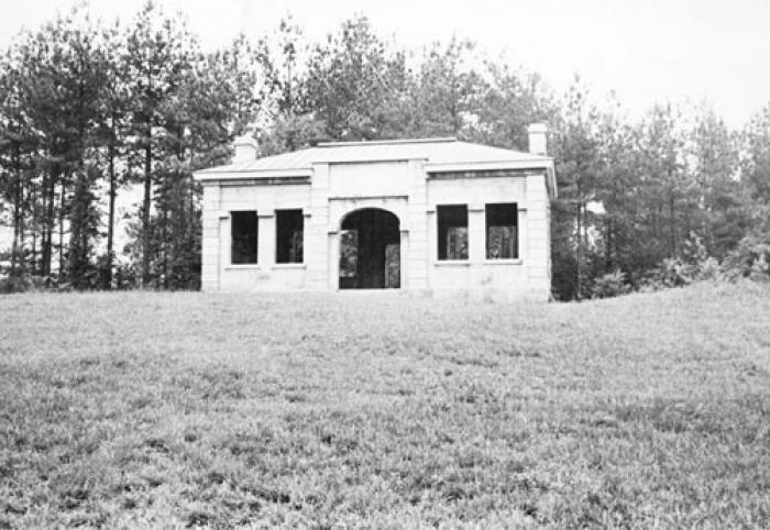
(Landsford Canal State Park) Historically, the Landsford Canal, completed about 1823, was an important transportation link for about fifteen years. The immediate area was involved in military movement from the Revolutionary War through the Civil War. The canal remains as the only canal existing in its entirety without encroachment in the state. The Canal parallels a two-mile section of the Catawba River. As part of the inland navigation system from the Up Country to Charleston, a series of Catawba canals were begun in 1819 and completed several years later. Landsford Canal, the highest in the system, was built by engineer Leckie. Within this section, the River falls thirty-four feet. The Canal consists of three sets of locks, a mill site, miller’s house, and a lockkeeper’s house—all in various forms of decay and ruins. The tract, including an aboriginal ford, was granted to Thomas Land in 1754, thus the derivation of its name. Listed in the National Register December 3, 1969.
Period of Significance:
1832;1830 – 1850;18th century;19th century
Level of Significance:
National
Area of Significance:
Military;Archeology: Prehistoric;Archeology: Historic - Non-Aboriginal;Commerce;Communications;Engineering;Transportation
National Register Determination:
listed
Date of Certification:
December 3 1969