Fort Pringle
National Register Listing
Street Address:
Riverland Dr., James Island, SC (Charleston County)
Alternate Name:
Battery Pringle
NRHP Nomination
Record Number:
S10817710124
Description and Narrative:
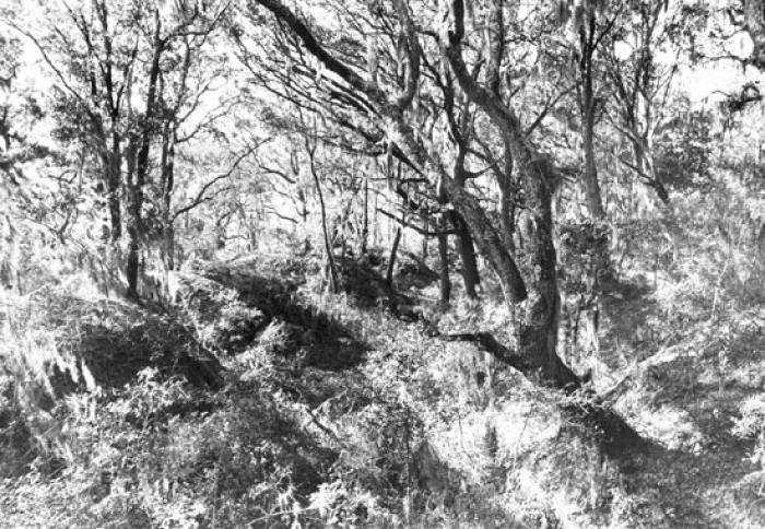
(Battery Pringle) Fort Pringle was constructed in 1863 by General P.G.T. Beauregard as part of the James Island Siege Line. As the western terminus of this line, Fort Pringle commanded the Stono River, John’s Island and lower James Island. It was designed to prevent naval forces from ascending to the Stono River as well as land forces from attacking up James Island or along the Stono River on John’s Island. Fort Pringle was named for Capt. Pringle, Lucas Battalion South Carolina Regular Artillery, killed on Morris Island in 1863. In 1863 Fort Pringle became the site of some of the heaviest artillery attacks made by the Union fleet during the battle for James Island. Fort Pringle mounted nine heavy cannons at the war’s end. The large enclosed earthwork is currently covered with a heavy growth of secondary vegetation. The earthwork itself is polygonal with the river face measuring approximately 360 feet, the right or upstream face 160 feet, the left or downstream face 400 feet and the rear face approximately 520 feet in length. The downstream and river front parapet ranges from 7.5 to 12.5 feet in height. The bombproof is approximately 15 feet high and the powder magazine about 12.5 feet tall. Listed in the National Register August 11, 1982.
Period of Significance:
1863
Level of Significance:
National
Area of Significance:
Engineering
National Register Determination:
listed
Date of Certification:
August 11 1982