Santee Canal
National Register Listing
Street Address:
NE of Moncks Corner (Berkeley County)
NRHP Nomination
Record Number:
S10817708022
Description and Narrative:
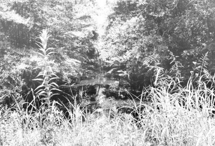
The Santee Canal was constructed between 1793 and 1800 under the direction of Col. John Christian Senf, South Carolina State Engineer. Conceived to provide a shorter, safer water route from inland South Carolina to Charleston, the canal was one of the earliest important canals in the United States and perhaps the earliest major internal improvement project in the state. Originally intended as a delivery route for foodstuffs, the advent of successful cotton production made the canal more useful for transporting cotton bales. In 1830, during its most prosperous period, 720 boats arrived in Charleston bearing about 70,000 bales of cotton via the canal. The canal route was twenty-two miles long, beginning two miles below Greenwood Swamp on the Santee River and entering the Cooper River at Stoney Landing, approximately two miles east of Moncks Corner. The canal was thirty-five feet wide at the top and five and one half feet deep, sloping to a bottom width of twenty feet. With the exception of a wooden tidal lock, all the locks were made of brick and stone. In addition to the canal itself, there were several warehouses, keepers’ houses, and other ancillary buildings along the route. All associated outbuildings, turning basins, lock bridges and the wooden lock have been destroyed. The towpaths are visible for large parts of the canal. The remains of the canal are overgrown with vegetation and are rapidly deteriorating. Listed in the National Register May 5, 1982.
Period of Significance:
1800;1793 – 1800;18th century;19th century
Level of Significance:
State
Area of Significance:
Engineering;Commerce;Transportation
National Register Determination:
listed
Date of Certification:
May 5 1982