Chester Field
National Register Listing
Street Address:
Address Restricted (Beaufort County)
Alternate Name:
(38BU29)
NRHP Nomination
Record Number:
S10817707003
Description and Narrative:
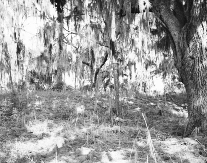
Chester Field is one of 20 or more prehistoric shell rings located from the central coast of South Carolina to the central coast of Georgia. All are believed to date early in the second millennium BC, and they contain some of the earliest pottery known in North America. The midden stands about 4 feet above a flat central area, which is about 13 feet above mean sea level. The interior and areas surrounding the ring are free of shells or other debris. The midden is composed primarily of oyster shell with lesser amounts of other mollusks, animal bone, and pottery sherds. Two trenches pass through the perimeter of the ring on the east and north edges, but approximately 45 percent of the ring is intact. The function of the ring shape is unknown, although the rings appear to be carefully planned and systematically deposited structures. As such, they also present one of the earliest records of sedentary life among people who must have lived entirely by foraging. Listed in the National Register October 15, 1970.
Period of Significance:
before 1400
Level of Significance:
National
Area of Significance:
Archeology: Prehistoric
National Register Determination:
listed
Date of Certification:
October 15 1970