Blank
Historic Property
Alternate Name:
J.S. Hammond House
Street Address:
470 W. Martintown Road, North Augusta, SC
Site Number:
S108042001100097
Site Number:
2-26-2
Date Surveyed:
1973
Category:
Building
Construction Date:
19th century
Historic Use:
Residential/Domestic
Current Use:
Vacant/Not In Use
Construction Method:
frame
Foundation Materials:
Other
Roof Materials:
metal
Signficant Architectural Features:
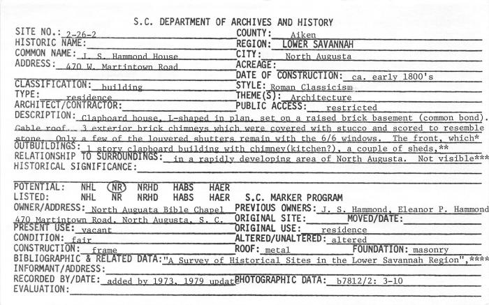
Clapboard house. L-shaped in plan, set on a raised brick basement (common bond Gable roof. 3 exterior brick chimneys which were covered with stucco and scored to resemble stone. Only, a few of the, louvered shutters remain with the 6/6 windows. The front, which faces away from Martintown Road in the direction of the Savannah River, is symmetrical, 3 bays wide (ABA),with a 1 bay projecting pedimented portico (supported by 2 brick piers) with 4 square columns and balustrades. The central front entrance is framed by a rectangular transom and sidelights. The S. and E. sides (rear) of the house appear to have originally had a veranda on the main floor, which has been partially enclosed. Interior condition: good. Interior walls: plaster; floors: softwood 7 rooms. Exterior: Most of the windows have been broken out by vandals, and most of the shutters are gone. Interior: Appears at this time to be in sound condition and to have undergone only minor architectural alterations. Interior walls are wide horizontal pine boards in the rooms of the main (2nd) floor; ceilings and floors are also wood. Mantels, none of which have yet been removed by vandals, appear to be the originals. An interior brick wall in the ground floor basement has been removed. OUTBUILDINGS: 1 story clapboard building with chimney (kitchen?), a couple of sheds, chimney near the house on the present entrance road.
Alterations:
altered
Source of Historical Information:
"A Survey of Historical Sites in the Lower Savannah Region", Aiken County Tax Assessor.
Survey:
North Augusta Survey, 1982
Archives Location:
Box 11, Series 108042, Survey of historic resources (county by county data on surface properties), circa 1971-2014